






Severe thunderstorm watch for El Paso County, eastern Colorado
A severe thunderstorm watch was issued for El Paso County and most of eastern Colorado along the Interstate 25 corridor until 9 p.m.Wednesday, according to the National Weather Service in Pueblo.
Up to .20 inches of rain could fall over the Waldo Canyon burn scar as a storm system moves over Green Mountain Falls traveling east toward Colorado Springs. The weather service forecasted heavier localized rain amounts could be possible if the storms intensify.
Half-inch hail and winds in excess of 40 mph were possible over the Air Force Academy, with predicted rainfall amounts up to .20 inches at the northwest edge of the Waldo Canyon burn scar across portions of West Monument Creek and Dry Creek.
Northwest Colorado Springs, Woodland Park, Monument, Manitou Springs, Green Mountain Falls, Chipita Park, Cascade, Gleneagle and Crystola were included in the path of the thunderstorms, according to the weather service.
Radars also indicated developing thunderstorms near Canon City and approaching Colorado Springs at 20 mph with dime-sized hail and winds in excess of 40 mph, the weather service said.
All developing storms were capable of producing golf ball-size hail and strong, damaging winds up to 60 mph and frequent cloud-to-ground lightning, the weather service said.
Scattered thunderstorms were expected to develop over the mountains and spread eastward onto the plains during late Wednesday afternoon and into the early evening.
Thursday’s forecast called for mostly clear skies over southcentral Colorado but severe thunderstorms could linger over the far eastern plains, mainly east of La Junta to the state line, the weather service said.
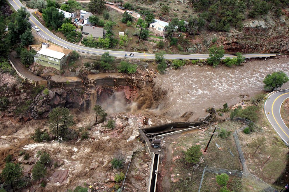
A raging waterfall destroys a bridge along Highway 34 toward Estes Park, Colorado, as flooding devastates the Front Range and thousands were forced to evacuate, on September 13, 2013. (AP Photo/Colorado Heli-Ops, Dennis Pierce)