






Rain expected to linger over Pikes Peak region
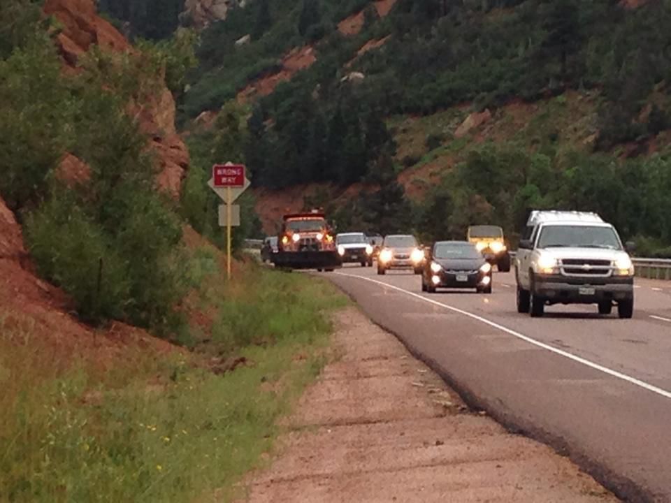
Recent thunderstorms and heavy rain could be blamed for loosening the mountain side Thursday and helping some rocks to roll near U.S. 24 about a mile west of Manitou Springs, according to Colorado Department of Transportation officials.
The rocks rolled onto the shoulder about 6:45 a.m. and a snow plow was immediately sent up the pass to clean the debris, clearing the rocks shortly after 7:30 a.m., said transportation spokesman Bob Wilson.
“All of this rain loosens rocks, so it’s not unusual for a few to make it down the mountain,” Wilson said.
Summer monsoons have been active across Colorado early in the month of July, especially over the southeastern portion of the state, according to the weather service’s report on precipitation in July 2014.
In Colorado Springs, 4.50 inches of rain fell through July 30, 1.66 inches above normal for the month.
Thus far, it would be tied with this month in 1950 as the 17th wettest July on record.
The highest rainfall for the month ever recorded in Colorado Springs were 6.59 inches in July of 1930, according to the weather service.
Thursday’s forecast offered a very familiar outlook for the Pikes Peak region: potential showers and thunderstorms, mainly in the afternoon and into the evening, with possible heavy localized rain, according to the National Weather Service.
There was no flash flood watch or advisory issued anywhere in Colorado, but a hazardous outlook from the weather service warned another round of thunderstorms was expected to develop over higher elevations with the potential for some flash flooding and some hail over the southeastern plains.
The Sangre de Cristo Mountains, the Wet Mountain Valley, Rampart Range, Teller, Fremont and El Paso counties were all susceptible to heavy rainfall, possible localized flash flooding, the weather service said. Lightning could be a threat with all thunderstorms, wind gusts up to 40 mph and hail up a half-inch in diameter.
Temperatures are expected to fluctuate from the mid to upper 60s, dipping back down to the low 50s overnight, according to the weather service.