


Weather alert: Large hail, tornados possible in Colorado Saturday
mdesigner125/iStock
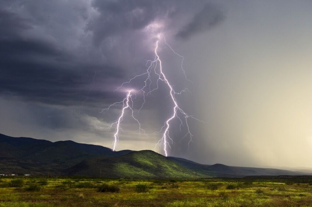
Severe thunderstorms are “near certain” Saturday across the eastern Colorado plains, according to the National Weather Service in Pueblo. There will be a chance for “very large” hail, damaging winds, flash flooding and isolated tornados.
The possible weather hazards have prompted the weather agency to put El Paso County under a severe thunderstorm watch until 9 p.m. The agency expects there will be “several rounds” of thunderstorms with wind gusts up 70 mph.
Woodland Park EF-1 tornado confirmed by National Weather Service
For the mid to late afternoon, storms will be more isolated, but will still be capable of large hail and damaging winds, the weather agency said on its website. The best chance for storms will generally be north of U.S. 50 and generally east of Interstate 25.
Headed into the night, the agency expects more thunderstorms. The severity will increase along and immediately west of the I-25 corridor, which includes Pueblo and Colorado Springs.
“Large to very large hail, damaging winds and a tornado or two will be possible. Since numerous storms are expected, flash flooding of flood-prone areas will be possible,” the weather agency said.
5:27 pm: > moisture has begun in increase over NE El Paso county as an outflow boundary from storms in NE CO pushes across the region. Thunderstorms are expected to gradually increase and intensify into the early evening hours. Some are expected to be severe. #co
— NWS Pueblo (@NWSPueblo) August 9, 2025
According to Gazette news partner KOAA, there is a high risk of hail the size of golf balls, and then a medium risk of tornados, damaging winds and flooding.
“I think I-25 should be clear by about dinner time, as those storms will continue to move eastward through the plains. Strong thunderstorms moving through our eastern plains through the evening (will take) a bit of a dip towards the south and east and start to clear out of our area by about 10 to midnight,” said KOAA Meteorologist Alex O’Brien.
Temperatures will drop back down to a normal level as the cold front, which is generating the storms, moves through southern Colorado, O’Brien said.
In Colorado Springs, the low is 57 degrees, and the high is 86.
On July 30, an EF-1 tornado touched down in Woodland Park. Hitting the town’s north side, the tornado had peak wind speeds of 110 mph and a maximum width of 50 yards. It lasted for six minutes and traveled for almost a mile, causing “extensive” tree damage, the National Weather Service reported.
Colorado Springs breaks daily heat record set in 1969