


Colorado Springs weather: possible record temperatures Tuesday amid heat wave
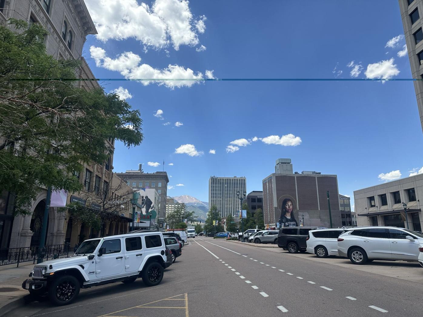
As temperatures across the Pikes Peak Region rise, Colorado Springs could see record-breaking heat Tuesday amid a “sizzling hot” week, according to Gazette news partner KOAA.
Highs for each afternoon this week are expected to be around 8-12 degrees above average as a strong “dome” of high pressure over the Four Corners Region brings the heat in, according to KOAA Meteorologist Alan Rose.
Tuesday’s temperatures will top out in the 90s and 100s on the Plains, with 80s in the mountain valleys. Set in 1980, the record-high heat for Colorado Springs is 93 degrees, according to the National Weather Service in Pueblo. Tuesday’s forecast has a high of 95.
Rain is not expected.
What is expected is smoke, which will increase this afternoon and evening due to wildfires burning in California, Arizona, Utah and western Colorado, according to Rose.
Air quality is expected to be moderate Tuesday, according to government website AirNow, which reports air quality using the official U.S. Air Quality Index. The agency says people unusually sensitive to particle pollution should consider reducing activity levels or shorten the amount of time outside when air quality is moderate.
Click here for up-to-date information on air quality from the agency.
Portions of Lake and Chaffee counties are under high fire danger due to hot, dry westerly winds in a climate where fuels are “critically” dry, according to the NWS. The weather service asks the public to avoid any activities that could spark a fire.
Temperatures will continue to warm to around record levels through the end of the work week. Meanwhile, dry conditions across the area today, will give way to chances for storms slowly increasing after midweek. #cowx pic.twitter.com/9raOAcEai6
— NWS Pueblo (@NWSPueblo) August 5, 2025
“It’s going to be a little bit unsufferable for some areas here (over) the next several days,” Rose said. “Folks without air conditioning will need to be mindful of the heat and find ways to keep cool.”
Tuesday night temperatures will drop to the low 60s in Colorado Springs. Wednesday will have a “small chance” for a few showers during the afternoon for the Pikes Peak Region, according to Rose.
“For now, any showers that do form look to favor higher elevation areas. Dry skies should persist for the rest of the week ahead of a cold front Saturday that will drop highs back down to the 80s this weekend,” Rose said.
Temperatures Wednesday will remain hot with a high in the region near 96 degrees and a low of around 62 at night, according to the weather service.
Here’s the forecast from the National Weather Service for the rest of the week:
Thursday: Skies will be mostly sunny with a high near 98 degrees. There is a very small chance for showers and storms after noon. Temperatures will drop to a low in the 60s at night, and skies will be partly cloudy.
Friday: Temperatures will remain hot with a high near 95 degrees, partly sunny skies and a very small chance for showers and storms. Night time temperatures could break out of the 60s with a low around 58 degrees.
Saturday: Day time temperatures will drop with a high near 89 degrees and mostly sunny skies. There will be a 30% chance for showers and storms after noon. Temperatures will continue to drop during the night with a low around 57 degrees.
Sunday: The high for the day will be around 85 degrees with mostly sunny skies and a chance for showers and storms. Sunday night will be mostly cloudy with a low around 55 degrees.