


Colorado Springs weather: Stormy and cloudy Tuesday with flash flooding possible
Christian Murdock
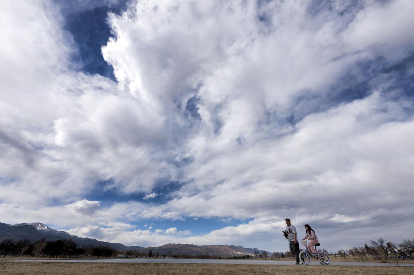
Tuesday will be stormy and cloudy with morning showers and a high of 87 and afternoon thunderstorms in the forecast.
Monsoon moisture continues to spread throughout the state, with widespread storm support this afternoon, according to Gazette news partner KOAA, and the National Weather Service.
A combination of monsoon moisture, and incoming upper-level energy, lead to widespread slow-moving afternoon thunderstorms Tuesday across southern Colorado. An isolated flash flood threat exists as a result.Follow us on Social Media!FB:https://www.facebook.com/KOAA/IG:https://www.instagram.com/koaa_5X:https://twitter.com/KOAABlue Sky:https://bsky.app/profile/koaa5.bsky.socialGet our App:https://www.koaa.com/appsMore at:https://www.koaa.com/
“The threat of flash flooding is isolated, with the Weather Prediction Center maintaining a 1-out-of-4 marginal risk today in Colorado Springs,” KOAA Meteorologist Casey Dorn said. “The main issue is that storms today will be slow movers. As we’ve seen with similar set ups in the last couple of weeks, these slow-moving storms can dump a lot of rain where they set up.”
Outdoor plans are best before lunch hours, as storm chances will increase with time throughout the afternoon and early evening. Today’s highs will be in the upper 80s.
“Wash, rinse, and repeat weather on Wednesday and Thursday. Wednesday looks marginally less active compared to today, and Thursday, but the differences may not be that noticeable,” said Dorn. “The same isolated flooding concern persists both days, with 5-10% less storm coverage on Wednesday compared to today.”
Storm motions will remain slow, keeping risks for flash flooding. Highs will drop slightly on Thursday topping out in the low 80s.
“The pattern begins to shift on Friday as our stubborn low- and high-pressure systems begin to move,” Dorn said. “This will allow drier air from the west to downslope into the region, lowering storm chances Friday to isolated-scattered, rather than widespread.”
More change arrives this weekend with high pressure bringing heat and sunshine with highs in the upper 90s through Sunday and low changes for storms.
Here’s this week’s weather forecast from the National Weather Service:
Wednesday: A slight chance of showers, then showers and possibly a thunderstorm after noon. High near 82. North wind 5 to 10 mph. Chance of precipitation is 80%. New rainfall amounts of less than a tenth of an inch, except higher amounts possible in thunderstorms.
Thursday: A slight chance of showers and thunderstorms before noon, then showers and possibly a thunderstorm between noon and 3pm, then showers and thunderstorms after 3pm. High near 82. Calm wind becoming southeast around 5 mph in the afternoon. Chance of precipitation is 80%. New rainfall amounts between a tenth and quarter of an inch, except higher amounts possible in thunderstorms.
Friday: A 30 percent chance of showers and thunderstorms after noon. Mostly sunny, with a high near 86. Calm wind becoming south southeast around 5 mph in the afternoon.
Saturday: A 10 percent chance of showers and thunderstorms after noon. Sunny, with a high near 90. West northwest wind around 5 mph becoming south southeast in the afternoon.
Sunday: Sunny, with a high near 92. West northwest wind around 5 mph becoming south southeast in the afternoon.