






Colorado Springs weather: High temps in the upper 80s Friday ahead of hot Father’s Day weekend
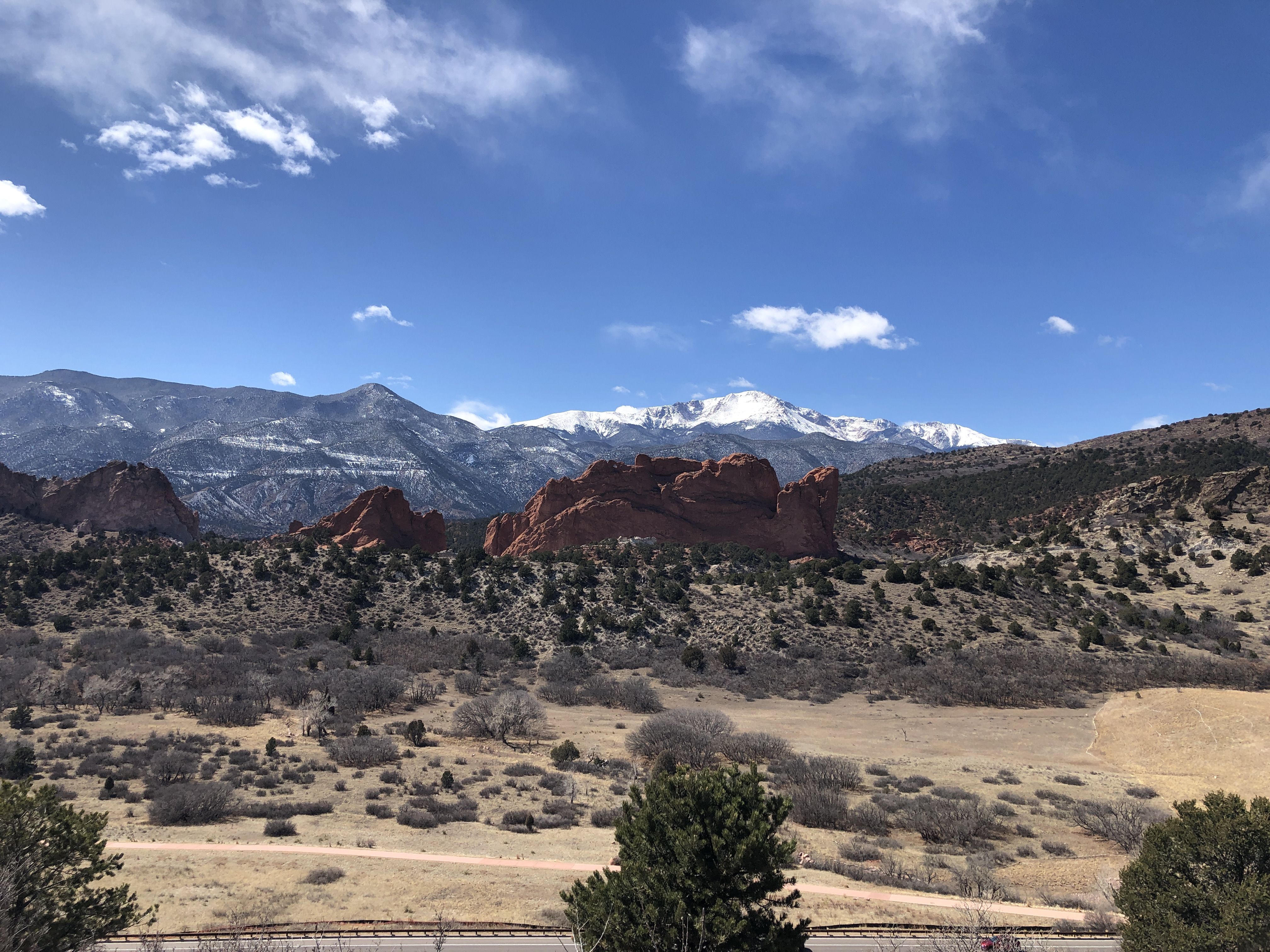
High pressure is the major weather force heading into Friday and Father’s Day weekend around Colorado Springs.
“It will be very warm today, and hot this weekend,” KOAA Meteorologist Casey Dorn said. “But just to put our heat into perspective, it was much hotter last year; today’s record high of 97 was set in 2024.”
Dorn said some modest moisture is still floating around today, however, and dew points are starting off in the 40s, which will notch into the low 50s this afternoon with upslope flow through the morning.
“Dew points measure how wet or dry the air is – the higher the number, the wetter the air,” Dorn said. “Wet air fuels our thunderstorms. Unlike the last couple of days though, this moisture will start to plummet during mid-afternoon as drier air moves in from the west.”
Best chances for storms will be between 11 a.m. and 2 p.m., when moisture is high and temperatures are already in the 80s.
A few additional showers may return during the afternoon commute, Dorn said, if mountain storms can successfully make it onto the plains. Meanwhile, temperatures will reach the upper 80s.
Highs in the low 90s are forecast for Saturday and Sunday, with mainly dry conditions.
“Father’s Day will be dry and mainly sunny – and the hottest day of the forecast,” Dorn said. “This is also Pride Weekend in Colorado Springs (a lot of stuff going on). It will be sunny for the parade downtown.”
Here’s the four-day forecast for Colorado Springs from the National Weather Service:
Saturday: Sunny, with a high near 90. Light and variable wind becoming south southeast 5 to 10 mph in the afternoon.
Sunday: Mostly sunny, with a high near 92. Light and variable wind becoming south southeast 5 to 10 mph in the afternoon.
Monday: Sunny, with a high near 93. West wind 5 to 10 mph becoming south southwest in the morning.
Tuesday: A 20 percent chance of showers and thunderstorms after noon. Mostly sunny, with a high near 88. West wind around 10 mph.
