


Final redistricting sets new map for next year’s Colorado Springs City Council elections
Christian Murdock, The Gazette
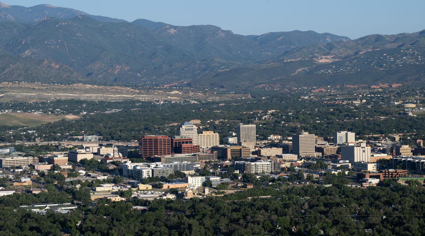
Colorado Springs released the new map of City Council districts on Friday, creating the borders that will be used for next year’s slate of council elections.
The city charter requires the City Clerk’s Office to create a new map of city districts every four years to keep the areas represented by each council member roughly the same size. Colorado Springs’ city population grew to just over 500,000 people this year and the redistricting aimed to split the city in groups of 83,391 residents.
The final map has no changes from the version that had been originally presented in October. City Clerk Sarah Johnson said the proposed map was the most popular of three options presented earlier this year and did not get any significant complaints from the public since.
“The comments were very positive about the moves and trying to capture where the future growth will be happening across the city,” Johnson said.
District 2 will see the biggest changes to account for the rapid population growth in the far north of Colorado Springs. The district’s population had grown to 91,700 people by 2024, according to a redistricting report released with the new map, which easily made it the most populous part of the city.
The new map moves several precincts out of District 2 to unite neighborhoods and hold its population to 80,600. That makes District 2 the least populous district in the city for the moment, though Johnson said it is expected to continue growing over the next four years.
“The goal was to reduce (Districts) 2 and 6 as much as you could and shift everywhere else, but also trying to shift the population to be as equal as possible and trying to keep the neighborhoods together. It’s a challenge,” Johnson said.
The new map has a wider swing in the size of the districts than in previous years. District 6, the largest region in the new map, has roughly 4,300 more residents than District 2.
Johnson said the varied population was a result of focusing on reducing the number of neighborhoods that are split across two different districts. The redistricting report lists multiple neighborhoods that are united in the new plan, such as the Vista Grande area in District 1 and the North Nevada-Studio area in District 5.
Not every neighborhood will be kept in a single district. The Sunset Vista neighborhood was split between Districts 1 and 6 in the new plan, and three other neighborhoods remain divided between districts.
There were 25 precincts that moved between districts in the new map. Johnson said it was a challenge to balance the population without being able to subdivide precincts, which are set at the county level.
The new map will be used in April, when all six district seats on the City Council are up for election. Candidates have to live within the new boundaries of the district in order to run for its council seat.
The filing period for the next City Council election opens on Dec. 31 and will close on Jan. 20.