


Colorado Springs weather: Blizzard warning issued for northern El Paso County
Parker Seibold
Click here to read Monday’s weather story.
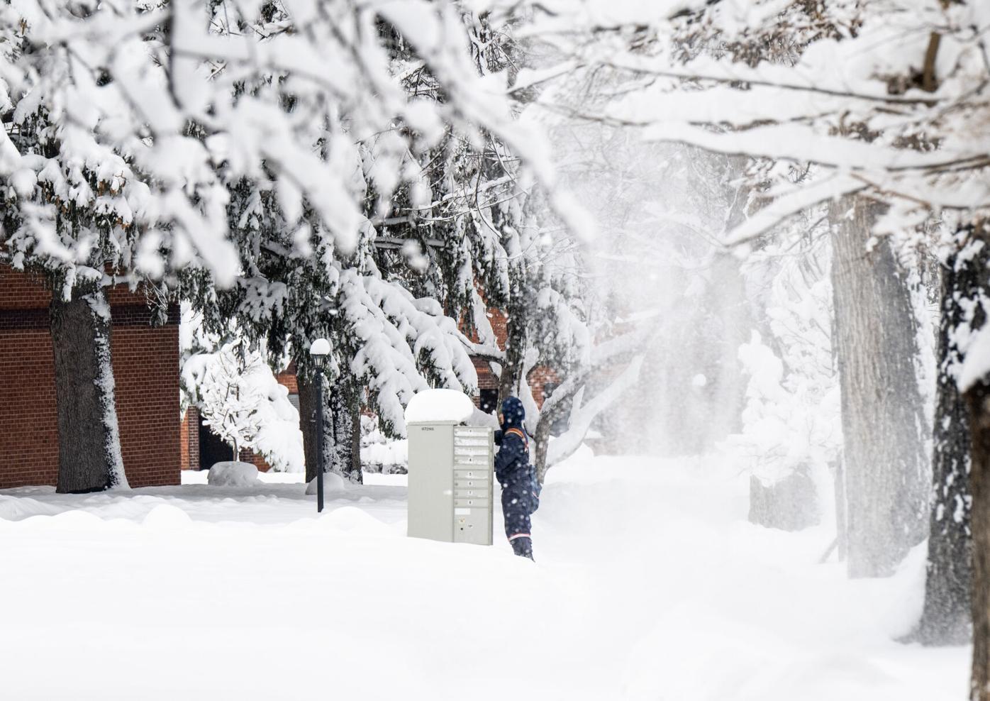
Parts of Colorado Springs could get up to 5 inches of snow overnight Sunday as the National Weather Service in Pueblo issues a blizzard warning for a portion of El Paso County.
The weather service issued the warning for the northern part of the county and said the area is expected to get snow accumulations of 2 to 8 inches, with winds gusting as high as 60 mph.
The heaviest amounts of snow are expected in Black Forest and Monument regions. The warning will be in effect until 9 a.m. Monday.
The Northgate area in northern Colorado Springs could get snow accumulations of 4 to 6 inches overnight, with wind chill values between zero and 10 degrees. Wind gusts up to 50 mph are expected .
The southern part of the city is expected to get about an inch of snow accumulation overnight, with patchy blowing snow between 11 p.m. and midnight. Wind gusts could reach up to 55 mph, according to the weather service.
Roads are likely to become slick overnight and could effect the early morning commute.
Here is the full forecast from the National Weather Service:
Monday: A 30 percent chance of snow showers, mainly before noon. Cloudy, with a high near 33. Breezy, with a north wind 15 to 20 mph, with gusts as high as 30 mph.
Tuesday: A 20 percent chance of snow showers after noon. Partly sunny, with a high near 44. West southwest wind 5 to 10 mph becoming south southeast in the afternoon.
Wednesday: Mostly sunny, with a high near 51. West wind 5 to 15 mph.
Thursday: Mostly sunny, with a high near 62. South southwest wind 10 to 15 mph.
Friday: Sunny, with a high near 64. South southwest wind 10 to 15 mph.
Saturday: Sunny, with a high near 66. South wind 10 to 15 mph.