


Whiteout daily snow report, Dec. 2-3
Saturday’s snow was soft and playful for the southern mountains. Sunday, today, the north gets its turn, and Steamboat would be the place to play today.
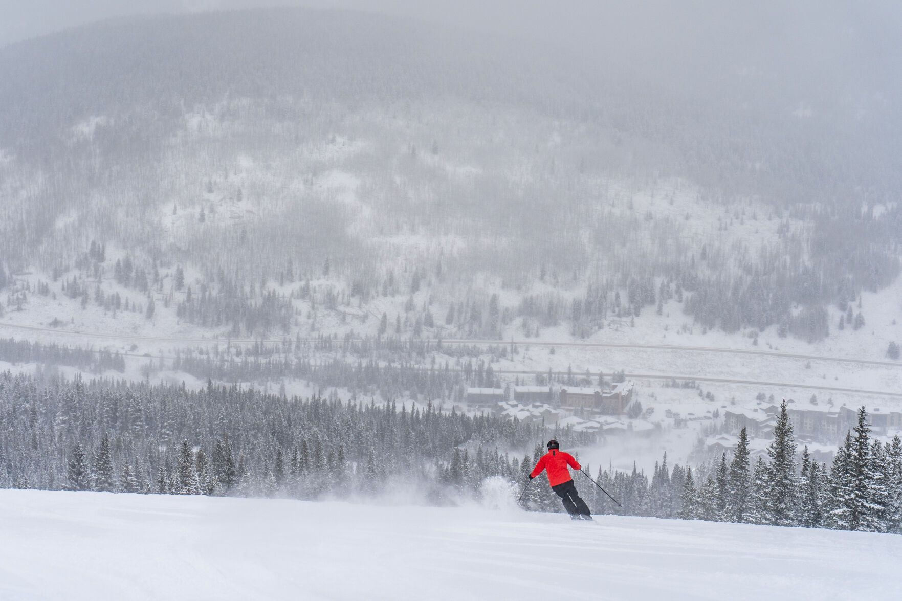
Nine inches of snow fell on the slopes of Copper Mountain Resort for Saturday, Dec. 2, 2023 skiing and riding
Saturday:
On Saturday, Telluride had a powder-day opening day, Wolf Creek received a foot of snow and nearly all the resorts in Colorado, that are open, had fresh snow for soft turns.
Wind was the story of the day Saturday, blowing strongly around the state ahead of the second wave of the storm. Gusts between 20-40 mph were recorded in several mountain locations.
Saturday morning’s snow totals ranged from another 3-15 inches for most southwestern, western, west-central and northwestern mountain areas, with 1-6 inches for most areas on the Front and Sawatch ranges. The European Centre for Medium-range Weather Forecasts model was in line with earlier predictions of snow accumulations from the first wave of the two-wave storm.
A Weather.us forecast model shows total potential accumulation levels of water-equivalent precipitation as of 8 a.m. Saturday, Dec. 2, for Colorado. Depending on the density of the snow, one inch of water is equivalent to 10 inches of snow based on a common rule of thumb ratio of 10:1.
A lull between storms happened most of today, but ramped up heavy after sunset and into Sunday, especially in the Park Range (Steamboat and Howelsen).
Skiing and riding around Aspen/Snowmass, Powderhorn on the Grand Mesa and at Telluride (opening today) was soft. It was a cold and windy day too, with temperatures in the teens or near 20 and the wind blew snow around.
Sunday:
Today is going to be DEEP; fun and DEEP! Snow totals of between 1-10 inches have already been recorded as of 6 a.m. at resorts around the state.
Screengrab of Steamboat’s snow stake camera shortly before 5 a.m. Dec. 3
Forecasts from the National Weather Service call for an additional 4-14 inches to fall in Colorado’s mountains, with higher totals around Steamboat, Howelsen and into Rock Mountain National Park and on Cameron Pass.
A Weather.us forecast model shows total potential accumulation levels of water-equivalent precipitation as of 8 a.m. Sunday, Dec. 3, for Colorado. Depending on the density of the snow, one inch of water is equivalent to 10 inches of snow based on a common rule of thumb ratio of 10:1.
The ECMWF model showed heavy snow in the mountains north of I-70 and up to the Continental Divide on Saturday night. Radar images at 6 a.m. show snow showers in the Flattops, Williams Fork, Gore, Front and Kenosha ranges. Snow will develop from northwest to southeast more over the course of Sunday with snow mostly ending overnight Monday.
Today’s 24 hour snow total from Colorado resorts:
Arapahoe Basin – 5″ + 2″
Aspen Mountain – 2″ + 4″
Aspen Highlands – 4″ + 5″, Opens Dec. 9
Beaver Creek – 3″ + 3″
Breckenridge – 4″ + 5″
Buttermilk – 1″ + 5″, Opens Dec. 9
Cooper – 5″ + 3″, Opens Dec 6.
Copper Mountain – 4″ + 6″
Crested Butte – 9″ + 5″
Echo Mountain – 1″ + 1″, open weekends
Eldora Mountain – 5″ + 2″
Granby Ranch – 5″ + 3″, Opens Dec. 8
Hesperus – 0″ + 2″, Opens early Dec.
Howelsen Hill – 9″ + 5″
Kendall Mountain – 5″ + 5″, Opens Dec. 15
Keystone – 6″ + 4″
Loveland – 3″ + 1″
Monarch – 6″ + 4″, As early as possible
Powderhorn – 3″ + 8″
Purgatory – 7″ + 2″
Silverton – 6″ + 7″
Snowmass – 3″ + 6″
Steamboat – 10″ + 7″
Sunlight – 3″ + 4″, Opens Dec. 8
Telluride – 1″ + 15″, Opens Dec. 2
Vail – 3″ + 5″
Winter Park – 2″ + 7″
Wolf Creek – 1″ + 12″