


Colorado Springs weather: Snow this weekend? It could happen.
Another day of warm, dry conditions are expected Tuesday across the Pikes Peak region but a significant shift in weather could take place this weekend, according to the National Weather Service in Pueblo.
Snow could start falling as early as Friday, forecasters say.
But for now, the weather service expects more sunshine and windy conditions with a few scattered showers in the afternoon.
Tuesday’s forecast in Colorado Springs calls for a high near 87 degrees possible rain and thunderstorms starting after 3 p.m., the weather service predicts. It is projected to be a little cooler Wednesday with temps in the high 70s and possibly more afternoon showers before a high near 88 degrees Thursday.
Friday’s forecast calls for a “big change,” Gazette news partner KKTV chief meteorologist Brian Bledsoe said in a report. Last month tied for the driest April on record, and it has been mostly dry so far this May.
“A strong cold front moves through, causing high temperatures to be about 40 degrees colder than Thursday,” he wrote, referring to Friday’s forecast. “There will also be some rain and snow, with some accumulating snow likely for the higher elevations to the west and north of Colorado Springs. Too early to say how impactful it will be, but right now with ground temperatures being so warm, most of the accumulation would be on the grass, trees, and anything elevated off of the ground.”
Here’s the upcoming forecast from the National Weather Service.
Tuesday: A 20% chance of showers and thunderstorms after 3 p.m. Mostly sunny, with a high near 87. North northwest wind 10-15 mph becoming south southeast in the afternoon.
Wednesday: Showers and thunderstorms likely, mainly after 3 p.m. Increasing clouds, with a high near 77. North northwest wind 5-15 mph becoming south southeast in the morning. Chance of precipitation is 60%. New rainfall amounts between a tenth and quarter of an inch, except higher amounts possible in thunderstorms.
Thursday: Mostly sunny, with a high near 88. Breezy, with a west southwest wind 10-15 mph increasing to 15-20 mph in the afternoon. Winds could gust as high as 35 mph.
Friday: A chance of showers, then showers likely and possibly a thunderstorm after noon. Mostly cloudy, with a high near 53. North wind 10-15 mph becoming east in the afternoon. Chance of precipitation is 60%.
Friday night: Rain showers likely before 7 p.m., then rain and snow showers likely between 7 p.m. and midnight, then a chance of snow showers after midnight. Some thunder is also possible. Mostly cloudy, with a low around 30. North northeast wind 10-15 mph. Chance of precipitation is 60%.
Saturday: A slight chance of snow showers before 9 a.m., then a slight chance of rain and snow showers between 9 a.m. and noon, then a slight chance of rain showers after noon. Some thunder is also possible. Partly sunny, with a high near 51. East wind around 10 mph. Chance of precipitation is 20%.
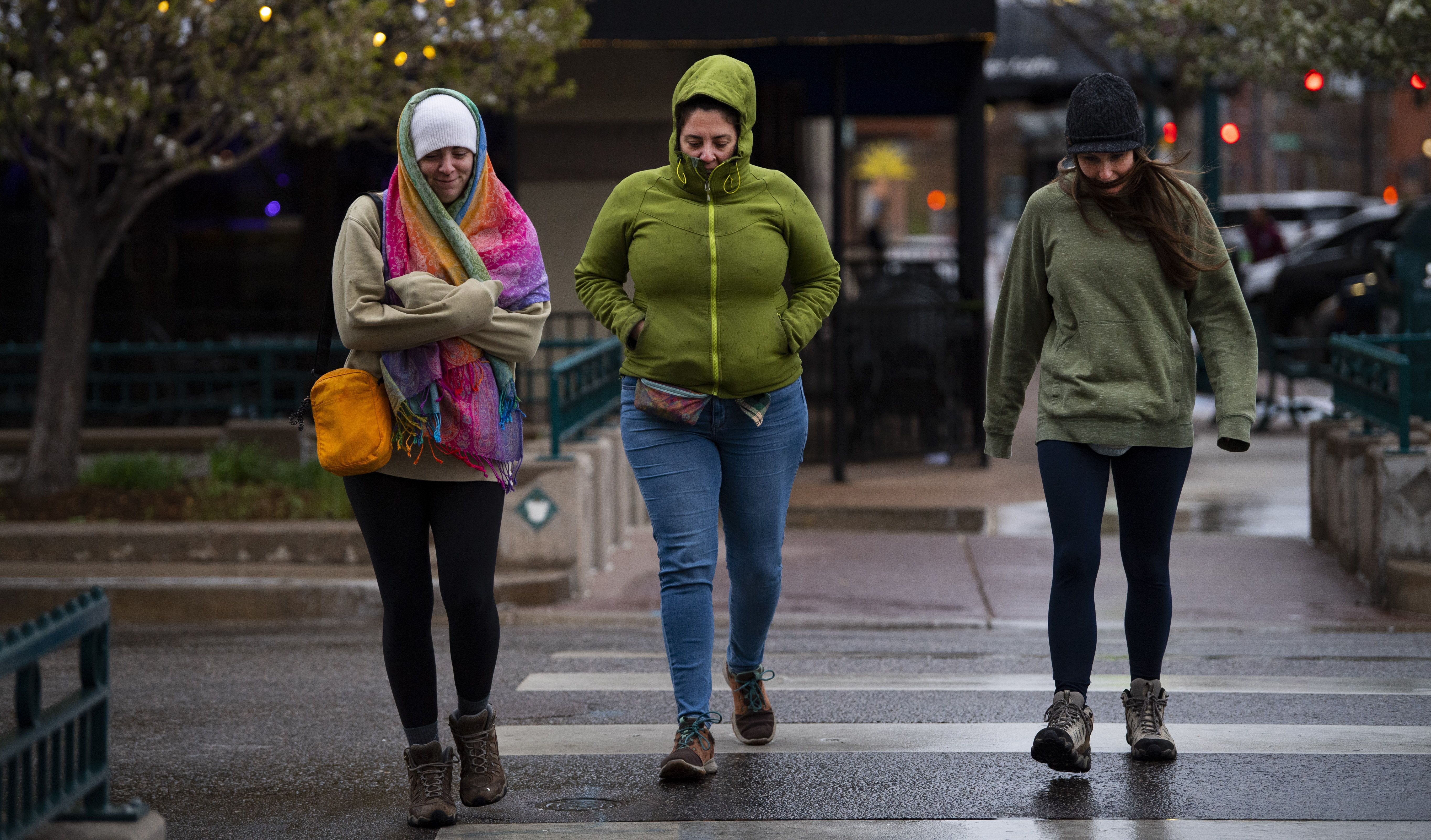
Julia Quigley, left, her sister Britta Quigley, and Ashley Smith bundle up as they cross Tejon Street in the cold rain Wednesday, May 4, 2022. The three were visiting from Philadelphia and plan to climb 14, 115-foot Pikes Peak this weekend. Lucky for them, the weather forecast Saturday for Colorado Springs is sunny with highs in the 80s.