






Hot and hazy: Colorado Springs breaks record high temp Saturday
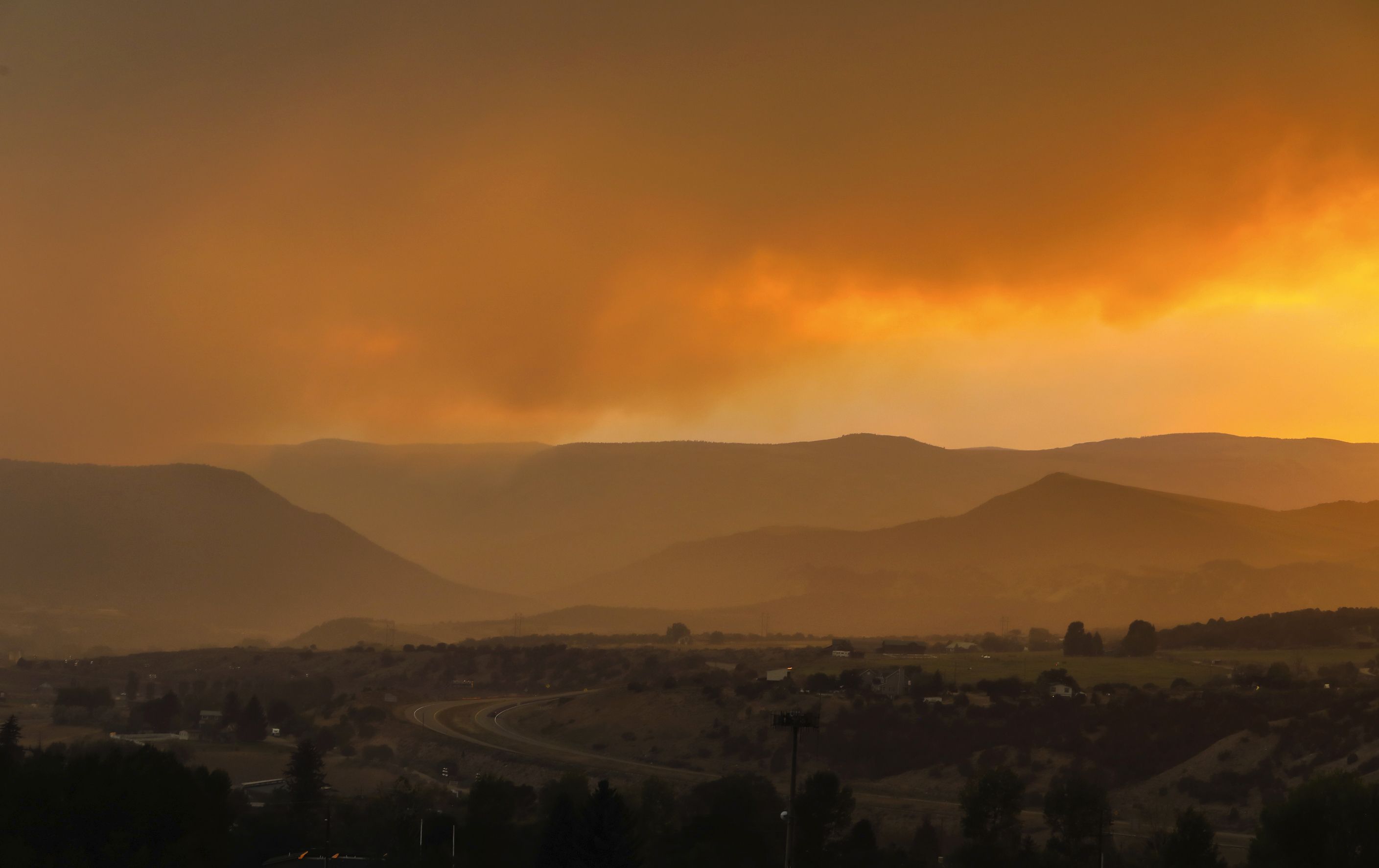
A temperature of 95 degrees in Colorado Springs Saturday broke the daily record as the widespread haze from Colorado’s wildfires continues to grow, according to the National Weather Service in Pueblo.
The previous daily record high for August 22 was 93 degrees, set in 2011, the weather service said.
Thick smoke from the wildfires will continue to move through southern Colorado, which has the potential for low air quality.
The air quality alert is in effect until 9 a.m. Sunday for Douglas, Jefferson, Denver, western Arapahoe, western Adams, Broomfield, Boulder, Larimer, and Weld Counties.
The smoke increases the likelihood of respiratory symptoms in sensitive individuals, aggravation of heart or lung disease and premature mortality in people with cardiopulmonary disease and older adults. People with heart or lung disease, older adults, and children should reduce prolonged or heavy exertion.
There is an air quality alert for ozone until 10 p.m. Saturday for northern Teller and northwestern El Paso Counties.
Wildfire smoke is expected to enhance ozone across the advisory area on Saturday. Ozone concentrations are expected to reach the “Unhealthy for Sensitive Groups” category Saturday evening, before returning to more moderate levels by late Saturday.
–Colorado wildfire updates: Saturday August 22
Here is Colorado Springs’ forecast from the National Weather Service:
Saturday night: Widespread haze. Areas of smoke. Mostly clear, with a low around 58. Northeast wind 5 to 10 mph.
Sunday: A 10 percent chance of showers and thunderstorms after 3pm. Widespread haze before 7am. Areas of smoke before 7am. Sunny, with a high near 93. North northwest wind around 5 mph becoming calm.
Sunday Night: Partly cloudy, with a low around 60. South wind around 5 mph becoming west after midnight.
Monday: A 20 percent chance of showers and thunderstorms after noon. Mostly sunny, with a high near 93. Light and variable wind becoming south southeast 5 to 10 mph in the afternoon.
Monday Night: A 10 percent chance of showers and thunderstorms before 9pm. Partly cloudy, with a low around 61. South southeast wind 5 to 10 mph becoming west after midnight.
Tuesday: A 30 percent chance of showers and thunderstorms after noon. Sunny, with a high near 93. Light and variable wind becoming southeast 5 to 10 mph in the afternoon.
Tuesday Night: A 20 percent chance of showers and thunderstorms before midnight. Partly cloudy, with a low around 62. South southeast wind around 5 mph becoming west after midnight.
Wednesday: A 40 percent chance of showers and thunderstorms after noon. Sunny, with a high near 92. Northwest wind 5 to 10 mph becoming east northeast in the afternoon.
Wednesday Night: A 30 percent chance of showers and thunderstorms before midnight. Mostly cloudy, with a low around 61. Northwest wind around 5 mph.
Thursday: A chance of showers and thunderstorms. Mostly sunny, with a high near 88. Northwest wind around 5 mph becoming east southeast in the afternoon.
Thursday Night: A chance of showers and thunderstorms. Mostly cloudy, with a low around 59. West northwest wind around 5 mph.
Friday: Showers and thunderstorms likely. Mostly sunny, with a high near 85. Northwest wind around 5 mph becoming southeast in the afternoon.
Smoke hangs low Thursday over Eagle and Gypsum. The Grizzly Creek fire is growing every day. Wildfires burning in western Colorado continue to grow in warm, windy weather, fueled by drought conditions. Photo courtesy Chris Dillmann, Vail Daily.