






Happy Trails: Bear Creek Trail an alternate to beloved Section 16 in Colorado Springs
HAPPY TRAILS
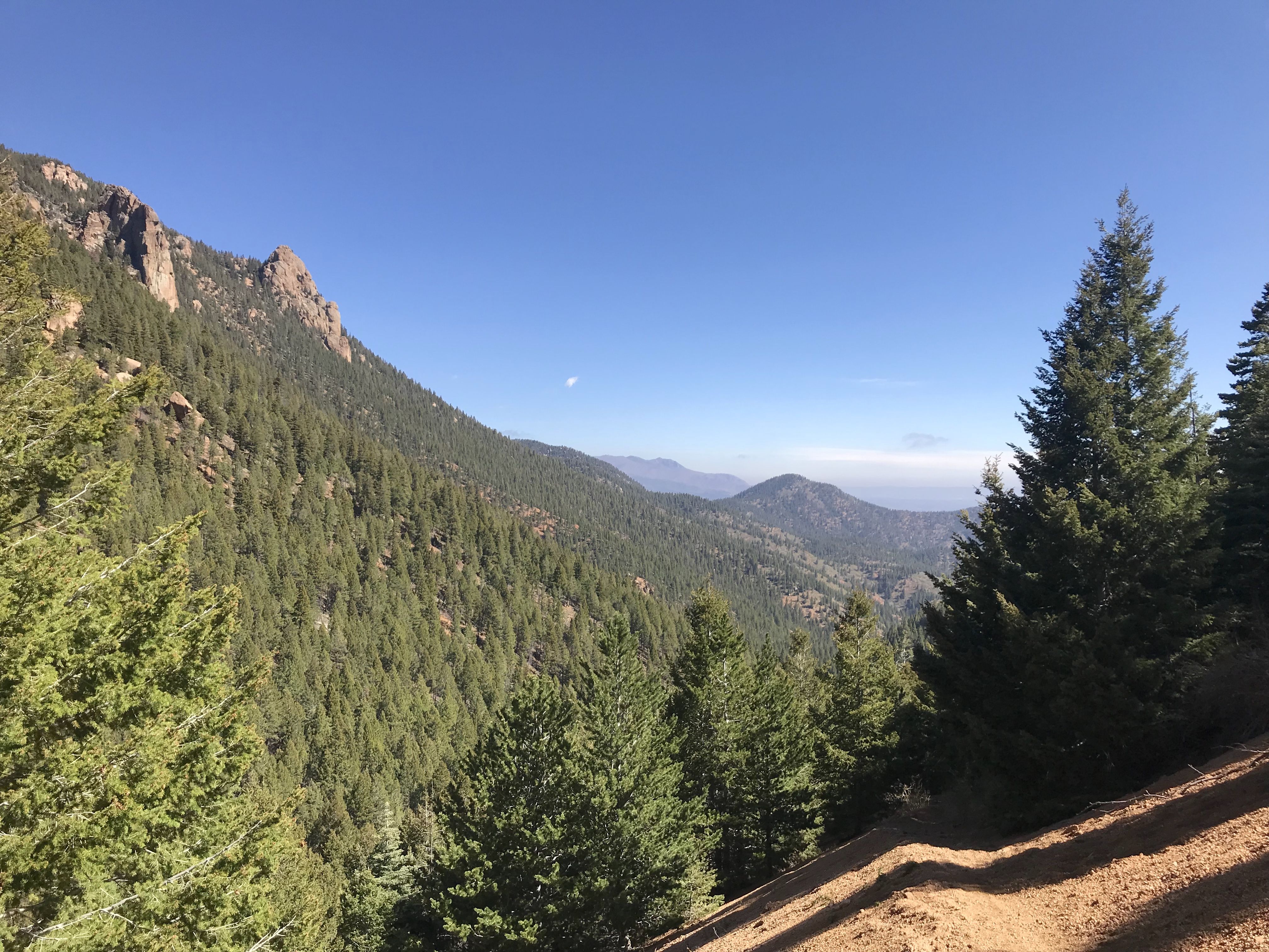
At the head of Trail 666, otherwise known as the Bear Creek Trail in Colorado Springs’ southwest mountains, we met a woman who said she frequented the popular trail about a quarter-mile behind us.
“I’ve lived here seven years, and I’ve always done Section 16,” she said, “but I’ve never come farther up here.”
Many locals probably can say the same. Farther up here on High Drive hides a path similar to Section 16 for its uphill trend, different for its smaller crowds. The views aren’t as dramatic on the Bear Creek Trail, but you still can expect to work up a sweat with the added benefit of serenity.
Start through High Drive’s gate, blocking motorists here beside Lower Gold Camp Road. High Drive is busy with runners and cyclists mostly returning from Section 16 or a longer excursion up in North Cheyenne Cañon. In a mile, swap the wide, dirt road for singletrack threading a lush forest.
The Bear Creek Trail meanders mossy hillsides, seamlessly rising to where trees clear and reveal mountains and the fading city and plains beyond. The climb becomes more noticeable as you go, straddling a sandy slope. It’s a slim path with a steep drop-off; be prepared to make room for downhill bikes.
Our tracker read 2.32 miles when we met Trail 776, bending higher for many more miles of adventure. Hilltop outcrops and craggy canyon sides join the vistas.
The Bear Creek Trail dead-ends 0.3 miles ahead, where Josephine Falls is seen from a distance.
Trip log: 5 miles round trip (out and back), 1,934 feet total ascent, 8,113 feet max
Difficulty: Moderate-difficult
Getting there: Going west on U.S. 24, turn left (south) on 26th Street. At stop sign, turn right onto Lower Gold Camp Road, following to Section 16 trailhead. Ahead, the road dips and curves, with High Drive starting on the right side.
FYI: Multiuse, nonmotorized. Dogs on leash. No camping.
SETH BOSTER, THE GAZETTE


