


More snow forecasted for Colorado’s high country
CHRISTIAN MURDOCK, THE GAZETTE
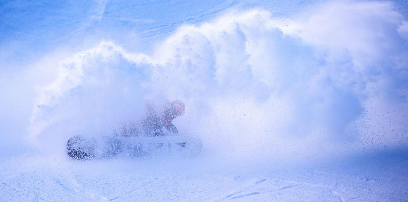
It’s getting close to June in Colorado, but that’s not holding back the winter weather. Following a recent storm that dropped up 20 inches in parts of El Paso County there’s still more powder on the way to Colorado.
This additional snow will likely hit Colorado’s high-altitude terrain early next week. Powder is predicted at Arapahoe Basin on Tuesday and Wednesday, with rain Monday, Thursday, and Friday. If temperatures end up lower than predicted on these days (currently showing highs in the 40s), this rain could land as snow. Arapahoe Basin has already announced that they’ll be extending their ski season into mid-June and more snow could stretch that extension even more.
At a lower altitude than Arapahoe Basin, Breckenridge is also expected to get some snow during the same Tuesday/Wednesday period. This will likely be mixed with rain, though higher altitude parts of this area will likely see more snow.
The Steamboat Springs area could see a rainy/snowy mix on Tuesday night.
Parts of Northern Colorado, including Estes Park and Granby, could see this same snowy/rainy mix on Tuesday.
Most of the Front Range will see temperatures in the 60s, with rainy days possible on Tuesday and Wednesday.