






Unseasonably warm temperatures set Colorado Springs area up for fire danger
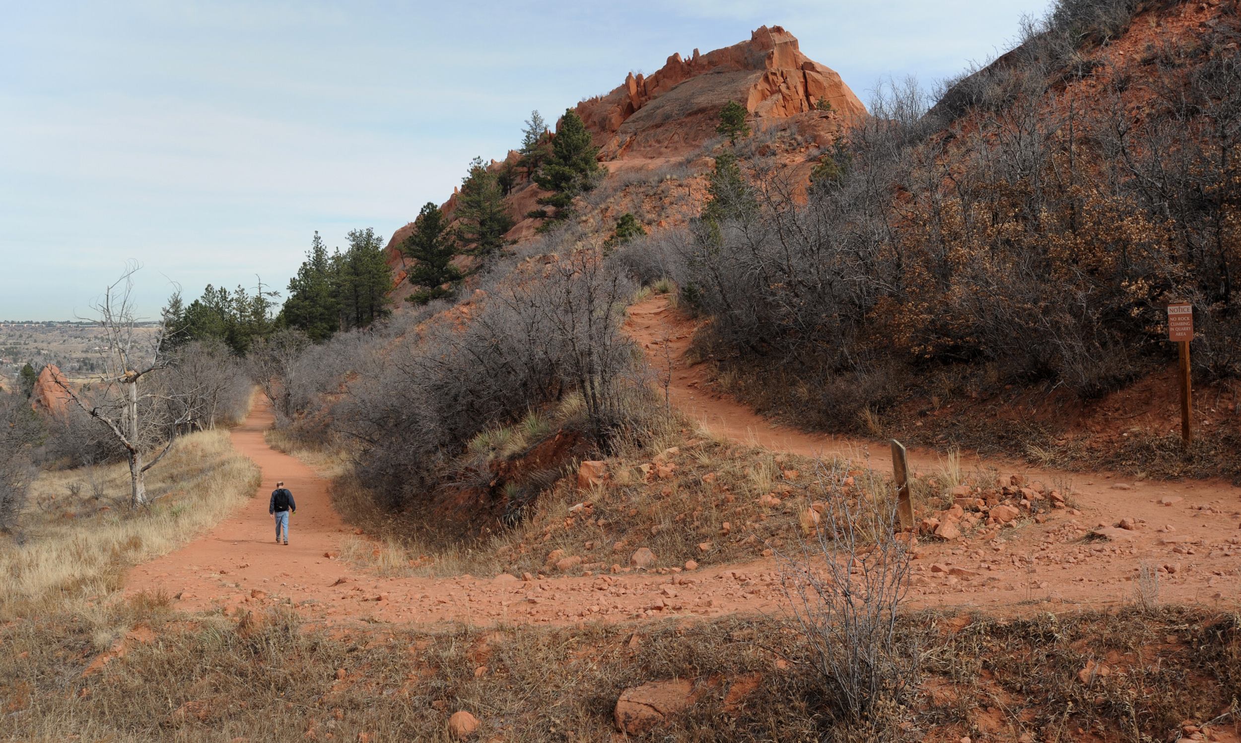
Forecasters call for another warm day Tuesday before things begin to cool down.
Temperatures in Colorado Springs could reach 72 degrees, which would match the Nov. 3 record high set in 2009, according to the National Weather Service in Pueblo.
There is potential for “extreme fire behavior” Tuesday along the Interstate 25 corridor and portion of the eastern plains, the weather service said.
On Monday, temperatures in Colorado Springs stopped just short of the record high of 76 degrees set in 1941.
But a high of 75 degrees Monday is nothing to dismiss, since the temperature clocked in at a whopping 15 degrees above normal, weather service meteorologist Paul Wolyn said Monday.
The heat has set the Pikes Peak region up for yet another seasonal oddity Tuesday – a red flag warning, which means that high winds and temperatures are expected to bring extreme fire danger to El Paso County on Tuesday. The warning is in effect from 11 a.m. Tuesday until 6 p.m., and also applies to Pueblo, Huerfano and western Las Animas counties.
Teller County is under a no-burn restriction Tuesday until further notice, according to the county’s website.
The gusting winds of up to 30 mph are expected to come from a storm that is moving into the region from the west, said Wolyn. Eventually, the storm is expected to bring temperatures down into the mid-40s later this week, although weekend temperatures should be back just below the November normal of 57 degrees, Wolyn said.
The change in weather has meant that Colorado Springs Utilities had to postpone a prescribed burn for the second time since Oct. 19. The burn, which would be the first Utilities has conducted in five years due to a state ban, is now scheduled for Nov. 12, weather pending.
