






Wintry conditions over most of Colorado
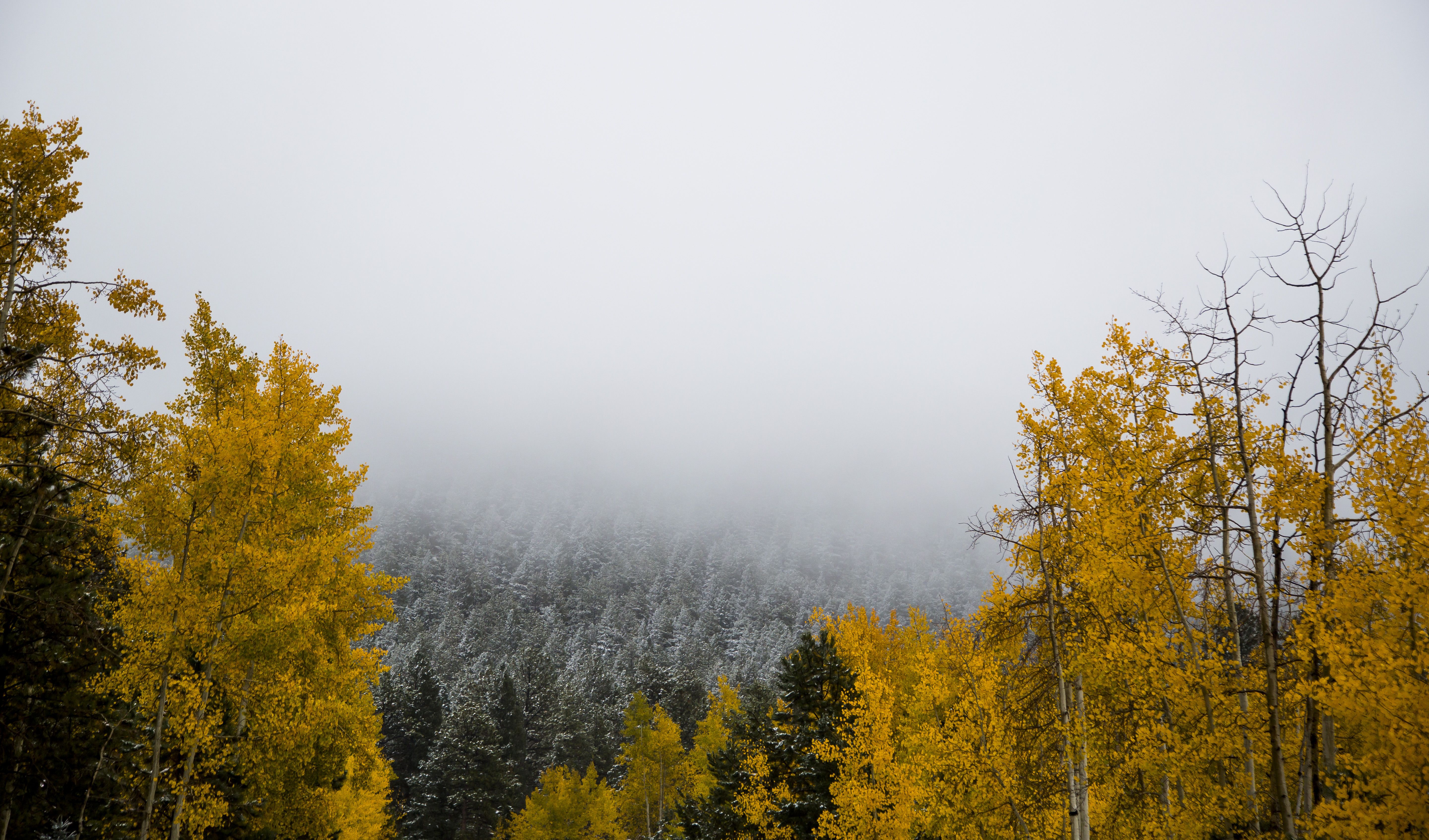
A tropical weather front brought plenty of moisture and precipitation to Colorado’s Front Range through the weekend, but slightly drier conditions and higher temperatures could make for a pleasant and crisp autumn week, according to the National Weather Service in Pueblo.
Several inches of snow was possible for elevations above 9,000 feet Sunday, but by midafternoon only about an inch of snow had been reported in Woodland Park, meteorologist Mike Nosko said. He said that as of Saturday, when the last measurement was taken, nearly 2 feet of snow had fallen on the Pikes Peak summit.
In the Pikes Peak region, Nosko said, any snow would likely fall in higher elevations along the Interstate 25 corridor, adding that the storm should move through the area overnight.
“After this system moves out around midnight, it will be cool and dry on Monday, with a warming trend through the middle of next week,” Nosko said. “The storms will keep traveling east toward the plains.”
Temperatures were expected to drop to the low 30s overnight and rise to the mid-50s through Monday, with clear skies and calm winds, the weather service predicted.
On Sunday, the weather service issued a winter weather advisory for the Park, Gore and Elk mountains and central mountain valleys, with up to 8 inches of snow expected and winds gusting to 40 mph.
It snowed over the mountains Sunday afternoon, with about 3 inches measured on the ground in Breckenridge and Fairplay.
Weather can be fickle this time of year, especially in the Colorado mountains, and people need to be ready, weather service meteorologist Jim Kalina said.
Several crashes and snowy conditions closed Interstate 70 at the Eisenhower Tunnel for a short time Sunday.
Colorado Department of Transportation traffic manager Brian Jordon said traffic in both directions was shut down off and on at the tunnel because of fender-benders and spinouts.
Hoosier Pass near Frisco was also shut down briefly because of crashes and bad weather.
Forecasters said some areas of the Front Range above 9,000 feet could see up to 8 inches of snow, along with gusty winds.
On the eastern plains, high winds and thunderstorms were forecast.
Kalina said most of the bad weather should be gone by Monday.
–
The Associated Press contributed to this report.
Contact Andrea Sinclair: 636-0235
Twitter @GazetteAndrea
Facebook Gazette Andrea Sinclair
Snow covers the trees along Rampart Range Road in Woodland Park on Sunday, October 12, 2014. Photo by Stacie Scott, The Gazette
Photo by Rob Johnson