


Missouri Gulch rises to beyond steep category

When executing summit routes to 13ers and 14ers, hikers often encounter routes with a slope angle around 1,000 feet per mile. When the angle approaches these numbers, it can be considered very steep. The Missouri Gulch Trail to Elkhead Pass travels about 4.25 miles with over 3,000 feet elevation gain, averaging about 725 feet of gain per mile. Measuring beyond those statistics, the first mile or so features legendary switchbacks that climb about 1,500 feet, rising to the beyond steep category.
The first mile of Missouri Gulch climbs about 1500 feet, solidly falling into the extremely steep category.
Joe LaFleur


The first mile of Missouri Gulch climbs about 1500 feet, solidly falling into the extremely steep category.
To reach the trailhead from Buena Vista, drive north on US 24 for about 15 miles to County Road 390 aka Clear Creek Road. Turn left and drive for about 8 miles to the historic townsite of Vicksburg and the trailhead parking area. In the summer the trailhead for Missouri Gulch can be very crowded because it is also the launching point for routes to the 14ers Missouri Mountain and mounts Belford and Oxford.
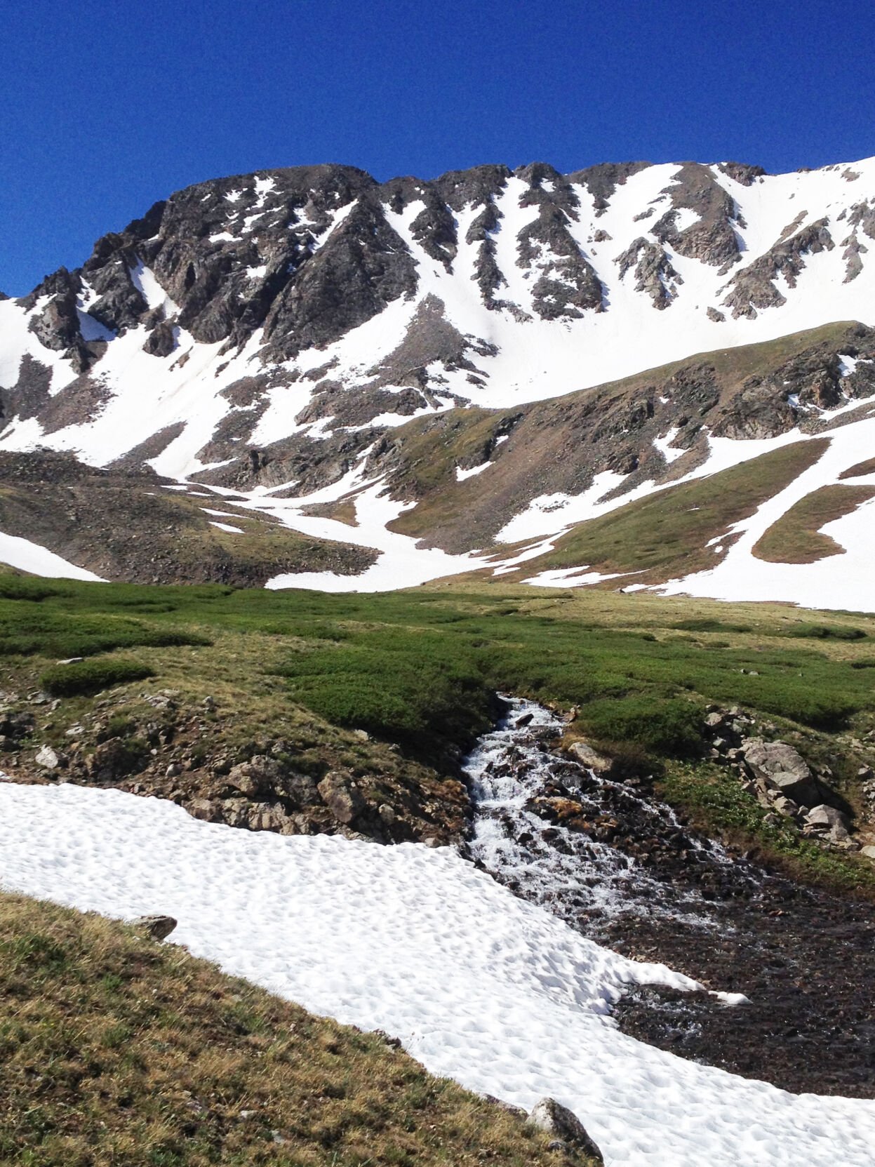
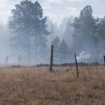
In early summer snowfields often remain above treeline and expect soggy feet from copious runoff.
Joe LaFleur


In early summer snowfields often remain above treeline and expect soggy feet from copious runoff.
Hike southward across a bridge over Clear Creek and savor a relatively flat stretch for a couple hundred yards, but brace for the extreme climb that awaits. Keep in mind that the angle would be even worse without the helpful switchbacks and it’s better to get the steepest grade out of the way sooner rather then later.
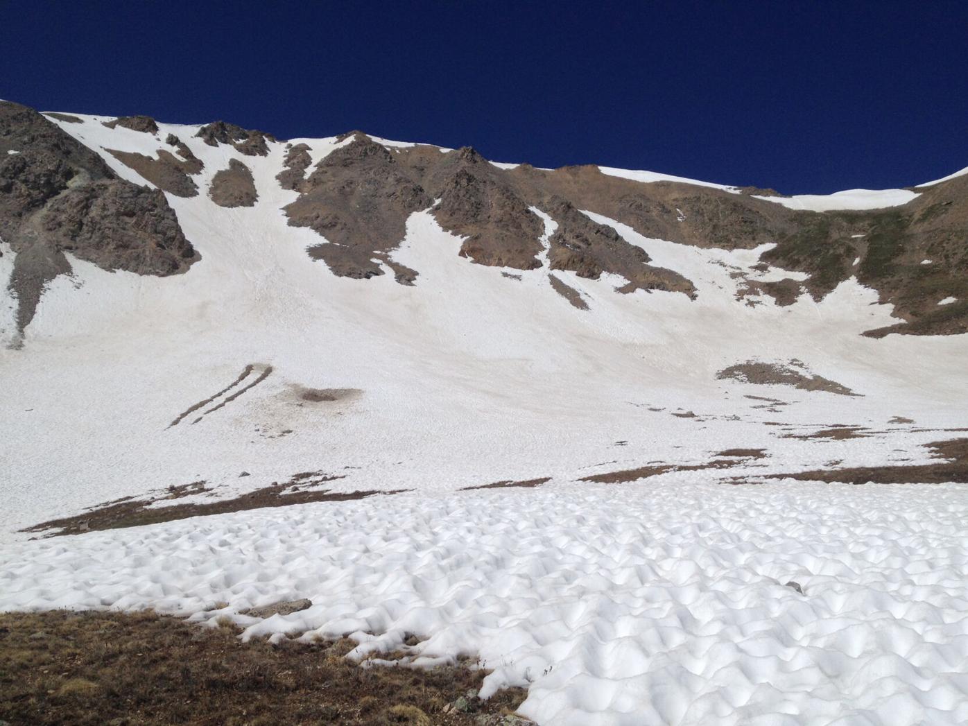
In early summer snowfields often remain above treeline.
Joe LaFleur


In early summer snowfields often remain above treeline.
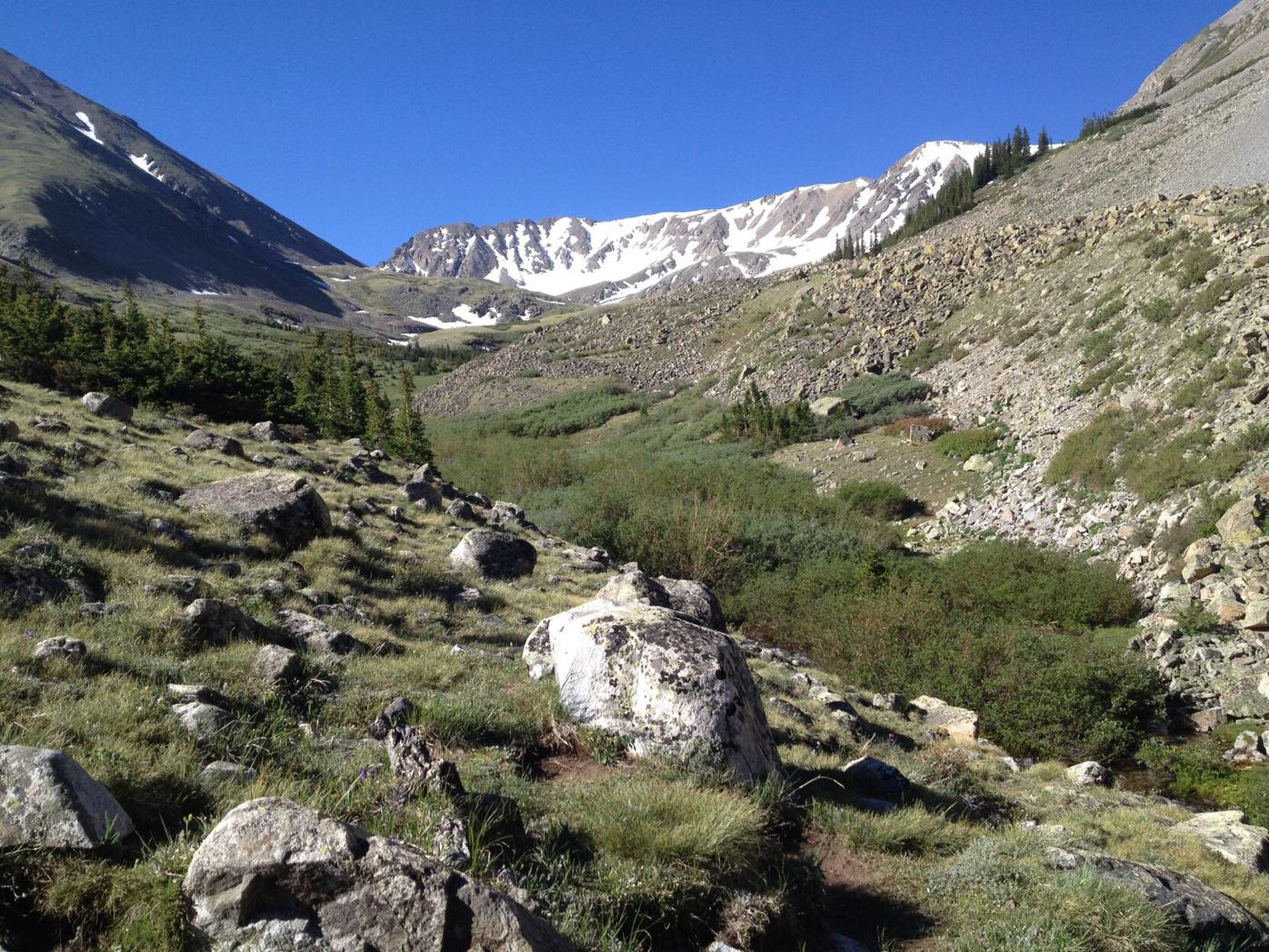
After about a mile the slope lessens but is still quite steep and rises above treeline after about another half mile. After about another quarter mile pass a side trail on the left that leads to Mount Belford and Mount Oxford but continue up the Gulch. The route channels through stands of willows and along alpine meadows sprouting wildflowers.

Above treeline the route channels through stands of willows and along alpine meadows sprouting wildflowers.
Joe LaFleur


Above treeline the route channels through stands of willows and along alpine meadows sprouting wildflowers.
After about another 1.5 miles pass a side trail on the right to Missouri Mountain and continue up the Gulch towards Elkhead Pass. After about another mile reach the top of that pass at a lofty 13,219 feet. Keep an eye out for white-tailed ptarmigan residing in their summer tundra habitat. Relax and enjoy some lunch with an alpine panorama before retracing the route back to the trailhead, which is virtually all downhill.
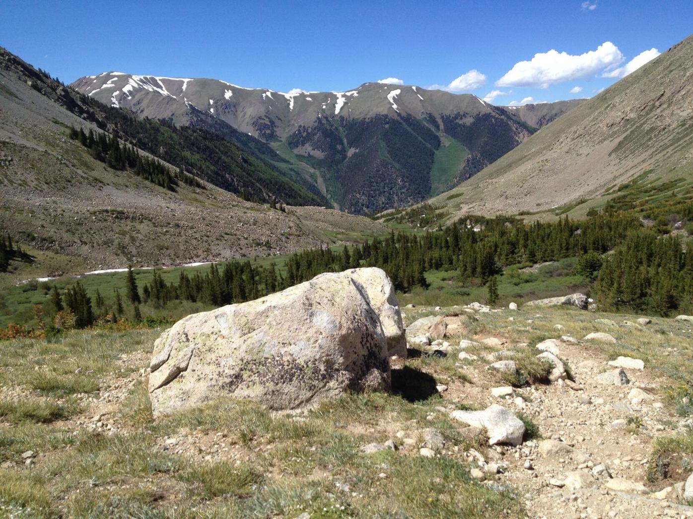
Looking back north towards the trailhead, Missouri Gulch drops precipitously to the Clear Creek Valley, with 13ers Mount Hope and Quail Mountain in the distance.
Joe LaFleur


Looking back north towards the trailhead, Missouri Gulch drops precipitously to the Clear Creek Valley, with 13ers Mount Hope and Quail Mountain in the distance.

Hobbit hole for Bilbo the Marmot.
Joe LaFleur


Hobbit hole for Bilbo the Marmot.
Joe LaFleur has lived in Woodland Park since 2016 and is a hiking enthusiast that hits the trails weekly. He has successfully summited over 150 unique 13ers and 14ers in Colorado. Contact Joe with questions or feedback at joe@betterbirdwatching.com. Hiking is great exercise but can be hazardous. Always be sure to plan well, check the weather, bring a printed map, tell someone where and when you are going and contact them when you return safely.
PREV
PREVIOUS

Manitou Springs forwards ballot initiative for tax increase
Facebook Twitter WhatsApp SMS Email Print Copy article link Save Facebook Twitter WhatsApp SMS Email Print Copy article link Save The Manitou Springs City Council unanimously passed the first reading of an ordinance increasing a tax under dispute between the city and one of its major tourism attractions. The city proposed the tax increase at […]
Teller County fire suspect competent to face trial, judge rules
Facebook Twitter WhatsApp SMS Email Print Copy article link Save A Teller County judge ruled that the woman accused of sparking the Highland Lakes fire that burned more than 150 acres near Divide last year is competent to proceed to trial. Lowa Tillitt, 77, also referred to as Lacey Tillitt in public records, was arrested […]